Latitude: 52.6209 / 52°37'15"N
Longitude: 1.4785 / 1°28'42"E
OS Eastings: 635551
OS Northings: 308251
OS Grid: TG355082
Mapcode National: GBR XKB.NM4
Mapcode Global: WHMTQ.PD83
Pluscode: 9F43JFCH+9C
What3Words: things.potions.tightest
Is the location marker in the wrong place? You can help fix that!
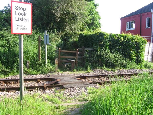
We don't yet have any user-contributed photos of Pack Lane Level Crossing.