Latitude: 53.1562 / 53°9'22"N
Longitude: -3.0551 / 3°3'18"W
OS Eastings: 329545
OS Northings: 362634
OS Grid: SJ295626
Mapcode National: GBR 73.52F1
Mapcode Global: WH88C.1XHS
Pluscode: 9C5R5W4V+FX
What3Words: divisible.range.pleasing
Is the location marker in the wrong place? You can help fix that!
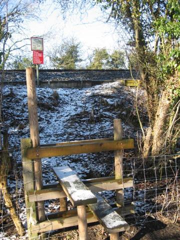
We don't yet have any user-contributed photos of Padeswood Level Crossing.