Latitude: 50.4321 / 50°25'55"N
Longitude: -3.5653 / 3°33'55"W
OS Eastings: 288920
OS Northings: 60311
OS Grid: SX889603
Mapcode National: GBR QT.S7LV
Mapcode Global: FRA 37FX.6TM
Pluscode: 9C2RCCJM+RV
What3Words: pumps.squad.office
Is the location marker in the wrong place? You can help fix that!
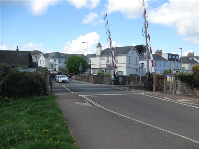
We don't yet have any user-contributed photos of Paignton South Level Crossing.