Latitude: 51.3857 / 51°23'8"N
Longitude: -3.3781 / 3°22'41"W
OS Eastings: 304197
OS Northings: 166086
OS Grid: ST041660
Mapcode National: GBR HN.RYVS
Mapcode Global: VH6FP.DFHK
Pluscode: 9C3R9JPC+7Q
What3Words: lamppost.cold.headstone
Is the location marker in the wrong place? You can help fix that!
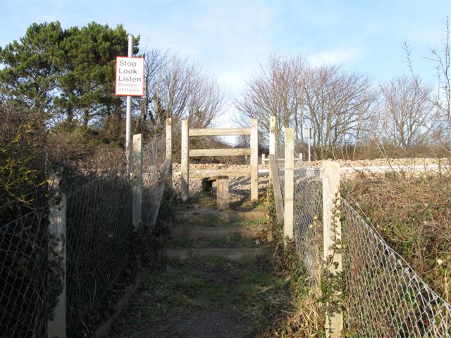
We don't yet have any user-contributed photos of Pant Level Crossing.