Latitude: 52.4479 / 52°26'52"N
Longitude: -4.0276 / 4°1'39"W
OS Eastings: 262295
OS Northings: 285258
OS Grid: SN622852
Mapcode National: GBR 8V.LT4J
Mapcode Global: VH4F6.4QLT
Pluscode: 9C4QCXXC+5W
What3Words: shameless.expel.overcomes
Is the location marker in the wrong place? You can help fix that!
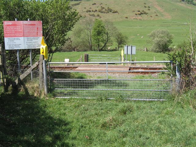
We don't yet have any user-contributed photos of Pant Y Peron Level Crossing.