Latitude: 52.2674 / 52°16'2"N
Longitude: -1.7103 / 1°42'37"W
OS Eastings: 419863
OS Northings: 263285
OS Grid: SP198632
Mapcode National: GBR 4KV.SHR
Mapcode Global: VHBXM.98NP
Pluscode: 9C4W778Q+WV
What3Words: typical.perfectly.cubs
Is the location marker in the wrong place? You can help fix that!
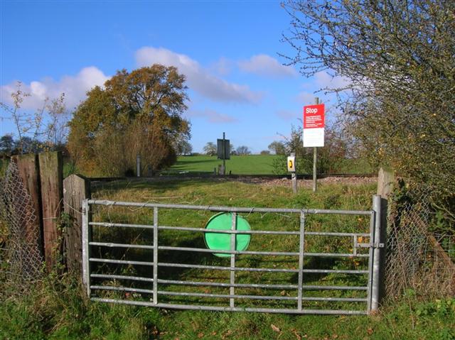
We don't yet have any user-contributed photos of Park Farm No.2 Level Crossing.