Latitude: 51.1791 / 51°10'44"N
Longitude: -0.0081 / 0°0'29"W
OS Eastings: 539326
OS Northings: 144089
OS Grid: TQ393440
Mapcode National: GBR KLC.4R3
Mapcode Global: VHGSL.TM2H
Pluscode: 9C3X5XHR+JQ
What3Words: pencil.singer.head
Is the location marker in the wrong place? You can help fix that!
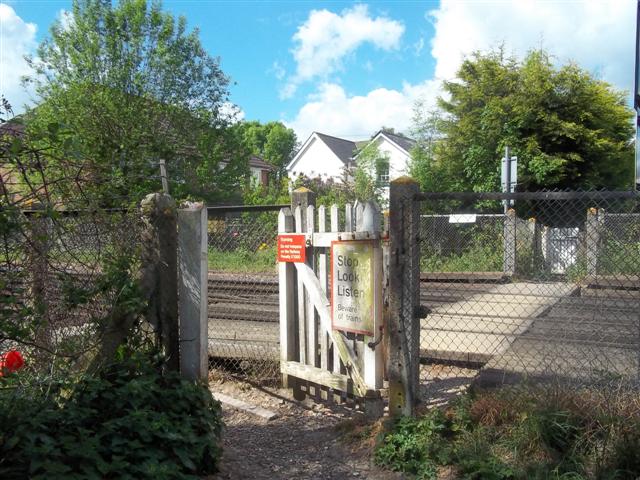
We don't yet have any user-contributed photos of Park Farm Level Crossing.