Latitude: 54.23 / 54°13'48"N
Longitude: -0.4309 / 0°25'51"W
OS Eastings: 502382
OS Northings: 482727
OS Grid: TA023827
Mapcode National: GBR TMFJ.HD
Mapcode Global: WHGC6.CY12
Pluscode: 9C6X6HJ9+2J
What3Words: against.cheesy.increased
Is the location marker in the wrong place? You can help fix that!
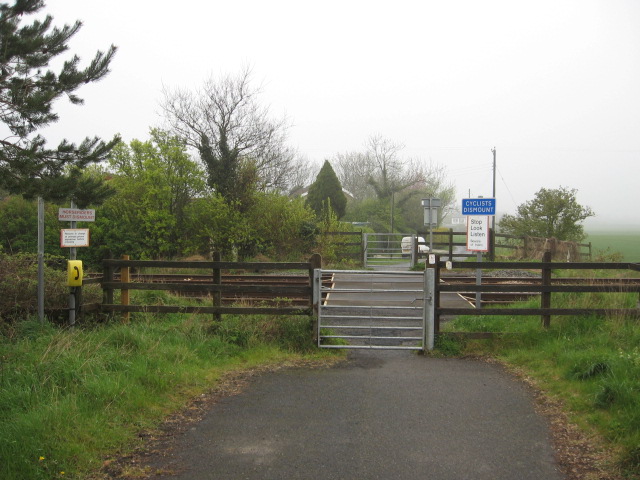
We don't yet have any user-contributed photos of Pasture Lane Level Crossing.