Latitude: 52.0368 / 52°2'12"N
Longitude: -1.7427 / 1°44'33"W
OS Eastings: 417749
OS Northings: 237627
OS Grid: SP177376
Mapcode National: GBR 4NP.B70
Mapcode Global: VHB19.R22F
Pluscode: 9C4W27P4+PW
What3Words: stint.pure.depths
Is the location marker in the wrong place? You can help fix that!
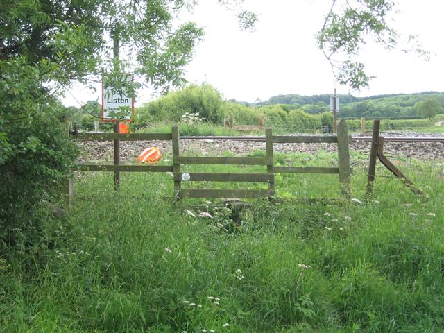
We don't yet have any user-contributed photos of Paxford 2 Level Crossing.