Latitude: 51.6844 / 51°41'3"N
Longitude: -4.2413 / 4°14'28"W
OS Eastings: 245157
OS Northings: 200786
OS Grid: SN451007
Mapcode National: GBR GQ.WZ7C
Mapcode Global: VH3M9.FXPL
Pluscode: 9C3QMQM5+QF
What3Words: trick.positions.courier
Is the location marker in the wrong place? You can help fix that!
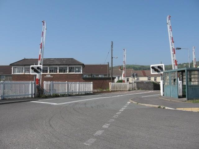
We don't yet have any user-contributed photos of Pembrey Level Crossing.