Latitude: 52.2743 / 52°16'27"N
Longitude: -3.3222 / 3°19'19"W
OS Eastings: 309880
OS Northings: 264844
OS Grid: SO098648
Mapcode National: GBR 9S.YSV6
Mapcode Global: VH69G.C3JB
Pluscode: 9C4R7MFH+P4
What3Words: spilling.oven.distracts
Is the location marker in the wrong place? You can help fix that!
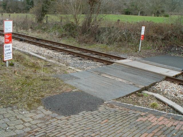
We don't yet have any user-contributed photos of Pen-y-bont Level Crossing.