Latitude: 53.2783 / 53°16'41"N
Longitude: -3.906 / 3°54'21"W
OS Eastings: 273010
OS Northings: 377400
OS Grid: SH730774
Mapcode National: GBR 1Z5J.4J
Mapcode Global: WH53Y.ZV5M
Pluscode: 9C5R73HV+8H
What3Words: secure.songbirds.measuring
Is the location marker in the wrong place? You can help fix that!
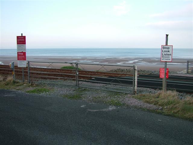
We don't yet have any user-contributed photos of Penmaenmawr Sea Defences Level Crossing.