Latitude: 51.5288 / 51°31'43"N
Longitude: -3.2566 / 3°15'23"W
OS Eastings: 312925
OS Northings: 181842
OS Grid: ST129818
Mapcode National: GBR HT.GZGZ
Mapcode Global: VH6DZ.HTQY
Pluscode: 9C3RGPHV+G9
What3Words: person.smart.listed
Is the location marker in the wrong place? You can help fix that!
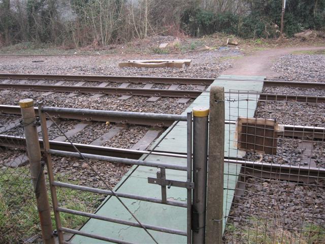
We don't yet have any user-contributed photos of Pentyrch Level Crossing.