Latitude: 51.7018 / 51°42'6"N
Longitude: -4.2955 / 4°17'43"W
OS Eastings: 241467
OS Northings: 202832
OS Grid: SN414028
Mapcode National: GBR GP.WWJ1
Mapcode Global: VH3M8.HHH8
Pluscode: 9C3QPP23+PQ
What3Words: jolt.trimmer.breached
Is the location marker in the wrong place? You can help fix that!
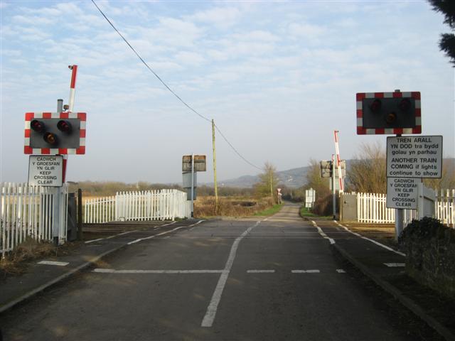
We don't yet have any user-contributed photos of Penybedd Level Crossing.