Latitude: 51.8331 / 51°49'59"N
Longitude: 0.6082 / 0°36'29"E
OS Eastings: 579806
OS Northings: 218156
OS Grid: TL798181
Mapcode National: GBR QKW.4KR
Mapcode Global: VHJJR.H6D3
Pluscode: 9F32RJM5+67
What3Words: resurgent.irritated.upsetting
Is the location marker in the wrong place? You can help fix that!
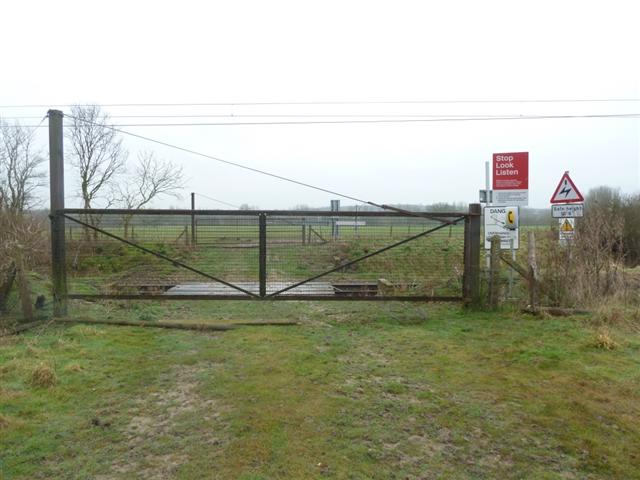
We don't yet have any user-contributed photos of Philpot Level Crossing.