Latitude: 53.7964 / 53°47'47"N
Longitude: -0.4088 / 0°24'31"W
OS Eastings: 504909
OS Northings: 434523
OS Grid: TA049345
Mapcode National: GBR G52.4H
Mapcode Global: WHGFB.PTKY
Pluscode: 9C5XQHWR+HF
What3Words: papers.sands.lined
Is the location marker in the wrong place? You can help fix that!
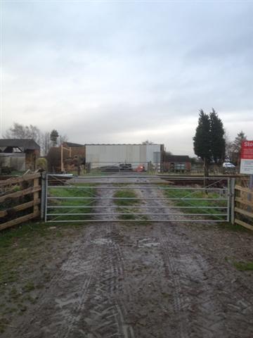
We don't yet have any user-contributed photos of Pillwood Farm Level Crossing.