Latitude: 52.8953 / 52°53'42"N
Longitude: -1.8645 / 1°51'52"W
OS Eastings: 409209
OS Northings: 333098
OS Grid: SK092330
Mapcode National: GBR 38R.HDL
Mapcode Global: WHCFP.BHC8
Pluscode: 9C4WV4WP+45
What3Words: react.measures.depths
Is the location marker in the wrong place? You can help fix that!
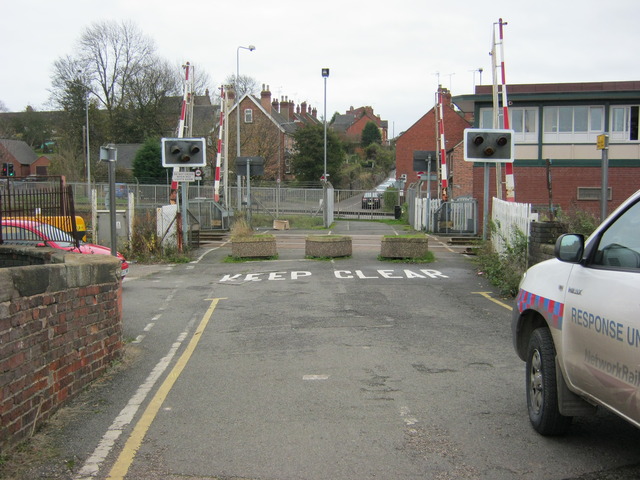
We don't yet have any user-contributed photos of Pinfold Level Crossing.