Latitude: 50.9787 / 50°58'43"N
Longitude: 0.8786 / 0°52'42"E
OS Eastings: 602164
OS Northings: 123864
OS Grid: TR021238
Mapcode National: GBR T05.DYJ
Mapcode Global: FRA D6QJ.B37
Pluscode: 9F22XVHH+FC
What3Words: golden.captive.filled
Is the location marker in the wrong place? You can help fix that!
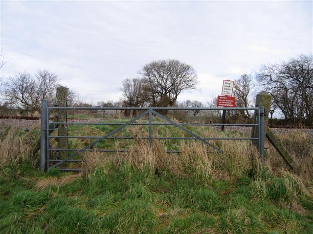
We don't yet have any user-contributed photos of Pipers No. 2 Level Crossing.