Latitude: 52.1301 / 52°7'48"N
Longitude: -2.1559 / 2°9'21"W
OS Eastings: 389422
OS Northings: 247986
OS Grid: SO894479
Mapcode National: GBR 1H0.FR7
Mapcode Global: VH931.LQ3F
Pluscode: 9C4V4RJV+2J
What3Words: timeless.harmonica.harps
Is the location marker in the wrong place? You can help fix that!
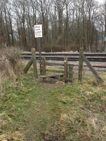
We don't yet have any user-contributed photos of Pirton 18 Level Crossing.