Latitude: 53.278 / 53°16'40"N
Longitude: -2.4128 / 2°24'46"W
OS Eastings: 372569
OS Northings: 375749
OS Grid: SJ725757
Mapcode National: GBR CZLJ.FM
Mapcode Global: WH996.XV6W
Pluscode: 9C5V7HHP+6V
What3Words: flopping.makeup.gear
Is the location marker in the wrong place? You can help fix that!
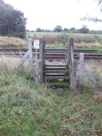
We don't yet have any user-contributed photos of Plumley Moor Level Crossing.