Latitude: 58.1 / 58°6'0"N
Longitude: -3.6803 / 3°40'49"W
OS Eastings: 301056
OS Northings: 913568
OS Grid: ND010135
Mapcode National: GBR K789.YPK
Mapcode Global: WH5DS.FNPT
Pluscode: 9CCR4829+2V
What3Words: fumes.pronouns.brambles
Is the location marker in the wrong place? You can help fix that!
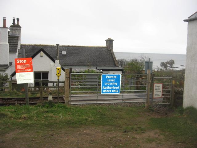
We don't yet have any user-contributed photos of Portgower Station Level Crossing.