Latitude: 52.9402 / 52°56'24"N
Longitude: 1.2293 / 1°13'45"E
OS Eastings: 617093
OS Northings: 342973
OS Grid: TG170429
Mapcode National: GBR VBG.RM3
Mapcode Global: WHLQX.VCL9
Pluscode: 9F43W6RH+3P
What3Words: comforted.laughs.bagpipes
Is the location marker in the wrong place? You can help fix that!
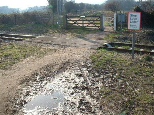
We don't yet have any user-contributed photos of Priory View/ Whitehouse Level Crossing.