Latitude: 52.8011 / 52°48'4"N
Longitude: -0.1579 / 0°9'28"W
OS Eastings: 524283
OS Northings: 324208
OS Grid: TF242242
Mapcode National: GBR HX3.8XG
Mapcode Global: WHHMF.KV0G
Pluscode: 9C4XRR2R+CR
What3Words: resembles.paddlers.fussed
Is the location marker in the wrong place? You can help fix that!
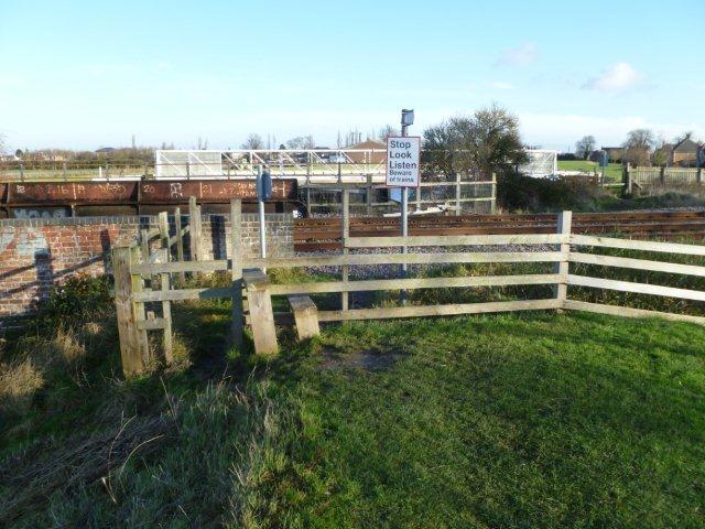
We don't yet have any user-contributed photos of Public Footpath No.15 Level Crossing.