Latitude: 53.633 / 53°37'58"N
Longitude: -1.1109 / 1°6'39"W
OS Eastings: 458886
OS Northings: 415526
OS Grid: SE588155
Mapcode National: GBR NVPF.8F
Mapcode Global: WHDCH.XY48
Pluscode: 9C5WJVMQ+5J
What3Words: sunflower.incomes.shoppers
Is the location marker in the wrong place? You can help fix that!
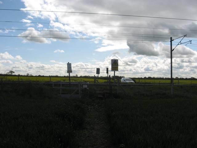
We don't yet have any user-contributed photos of Public Footpath No.3 Level Crossing.