Latitude: 54.1137 / 54°6'49"N
Longitude: -2.4955 / 2°29'43"W
OS Eastings: 367704
OS Northings: 468758
OS Grid: SD677687
Mapcode National: GBR CN0W.J3
Mapcode Global: WH953.MVWR
Pluscode: 9C6V4G73+FQ
What3Words: means.songbirds.spark
Is the location marker in the wrong place? You can help fix that!
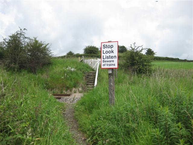
We don't yet have any user-contributed photos of Public Footpath No.38 Level Crossing.