Latitude: 52.9675 / 52°58'3"N
Longitude: -0.2045 / 0°12'16"W
OS Eastings: 520680
OS Northings: 342636
OS Grid: TF206426
Mapcode National: GBR HTX.WNC
Mapcode Global: WHHLM.TNSW
Pluscode: 9C4XXQ9W+25
What3Words: dried.pill.wide
Is the location marker in the wrong place? You can help fix that!
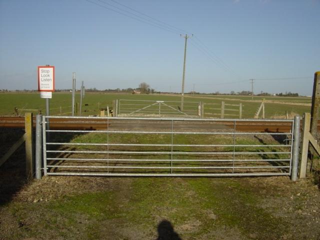
We don't yet have any user-contributed photos of Pump House Level Crossing.