Latitude: 51.5948 / 51°35'41"N
Longitude: -1.8687 / 1°52'7"W
OS Eastings: 409192
OS Northings: 188452
OS Grid: SU091884
Mapcode National: GBR 3SF.VS8
Mapcode Global: VHB3C.K5GQ
Pluscode: 9C3WH4VJ+WG
What3Words: cold.wheels.parsnip
Is the location marker in the wrong place? You can help fix that!
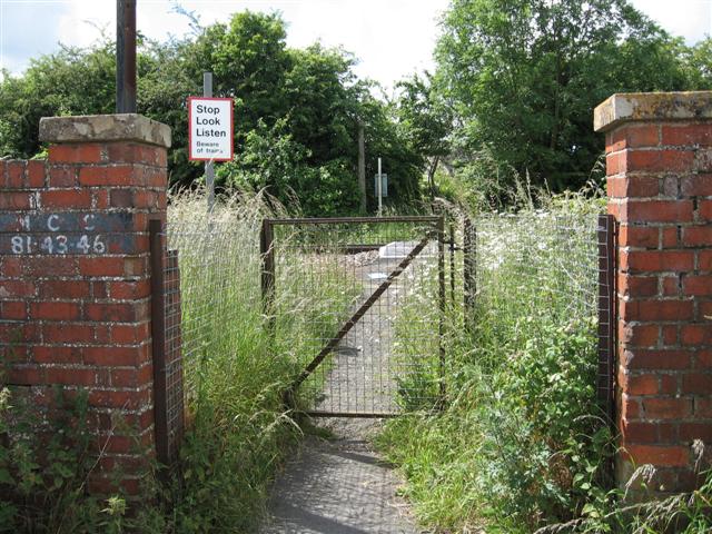
We don't yet have any user-contributed photos of Purton 60 Level Crossing.