Latitude: 51.596 / 51°35'45"N
Longitude: -1.874 / 1°52'26"W
OS Eastings: 408827
OS Northings: 188580
OS Grid: SU088885
Mapcode National: GBR 3SF.T72
Mapcode Global: VHB3C.G4PV
Pluscode: 9C3WH4WG+CC
What3Words: curls.exchanges.speeding
Is the location marker in the wrong place? You can help fix that!
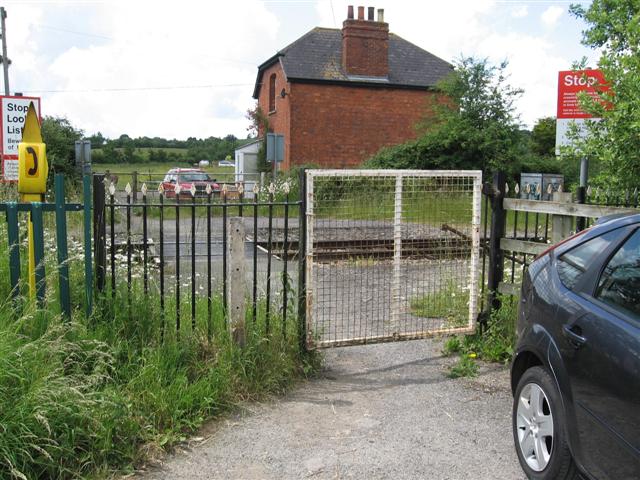
We don't yet have any user-contributed photos of Purton Common Level Crossing.