Latitude: 57.5819 / 57°34'54"N
Longitude: -5.0561 / 5°3'22"W
OS Eastings: 217384
OS Northings: 858768
OS Grid: NH173587
Mapcode National: GBR F8WP.BRN
Mapcode Global: WH1B3.9PKH
Pluscode: 9C9PHWJV+QH
What3Words: regrowth.invite.handover
Is the location marker in the wrong place? You can help fix that!
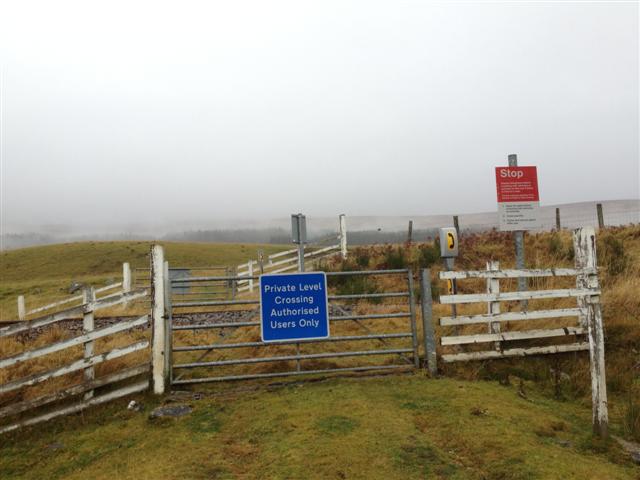
We don't yet have any user-contributed photos of Quarry Burn Level Crossing.