Latitude: 51.4028 / 51°24'10"N
Longitude: 0.2127 / 0°12'45"E
OS Eastings: 554007
OS Northings: 169413
OS Grid: TQ540694
Mapcode National: GBR TR.B9V
Mapcode Global: VHHP0.MZTZ
Pluscode: 9F32C637+43
What3Words: stages.corn.fire
Is the location marker in the wrong place? You can help fix that!
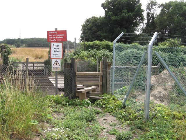
We don't yet have any user-contributed photos of Ramswood Level Crossing.