Latitude: 52.84 / 52°50'23"N
Longitude: -2.9544 / 2°57'15"W
OS Eastings: 335809
OS Northings: 327369
OS Grid: SJ358273
Mapcode National: GBR 77.T2W2
Mapcode Global: WH89Y.LWC5
Pluscode: 9C4VR2QW+X6
What3Words: pram.dried.flood
Is the location marker in the wrong place? You can help fix that!
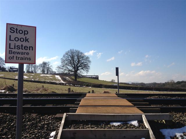
We don't yet have any user-contributed photos of Rednal Level Crossing.