Latitude: 52.5765 / 52°34'35"N
Longitude: 1.6049 / 1°36'17"E
OS Eastings: 644345
OS Northings: 303738
OS Grid: TG443037
Mapcode National: GBR YRC.JJT
Mapcode Global: WHMTZ.MHFM
Pluscode: 9F43HJG3+JW
What3Words: wants.stiffly.lazy
Is the location marker in the wrong place? You can help fix that!
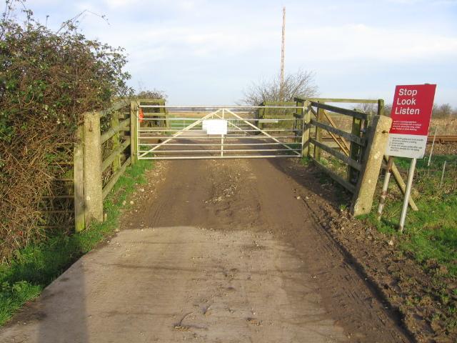
We don't yet have any user-contributed photos of Reedham Occupation Level Crossing.