Latitude: 54.0643 / 54°3'51"N
Longitude: -0.8848 / 0°53'5"W
OS Eastings: 473087
OS Northings: 463722
OS Grid: SE730637
Mapcode National: GBR QP8F.7T
Mapcode Global: WHFBT.C3XL
Pluscode: 9C6X3478+P3
What3Words: region.goose.grouping
Is the location marker in the wrong place? You can help fix that!
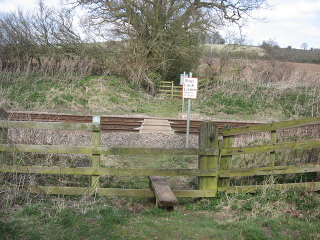
We don't yet have any user-contributed photos of Rider Lane Farm Level Crossing.