Latitude: 53.7989 / 53°47'56"N
Longitude: -0.4092 / 0°24'32"W
OS Eastings: 504877
OS Northings: 434796
OS Grid: TA048347
Mapcode National: GBR G51.1L
Mapcode Global: WHGFB.PSC1
Pluscode: 9C5XQHXR+H8
What3Words: gallons.clay.stared
Is the location marker in the wrong place? You can help fix that!
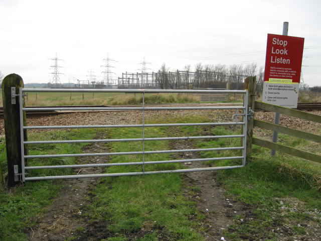
We don't yet have any user-contributed photos of Roadside Level Crossing.