Latitude: 51.8022 / 51°48'7"N
Longitude: 0.1556 / 0°9'20"E
OS Eastings: 548728
OS Northings: 213703
OS Grid: TL487137
Mapcode National: GBR LD5.XVW
Mapcode Global: VHHM1.NY4T
Pluscode: 9F32R524+V6
What3Words: skinny.bliss.comet
Is the location marker in the wrong place? You can help fix that!
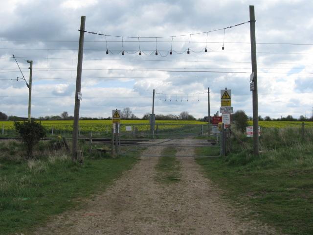
We don't yet have any user-contributed photos of Robarts 111 Level Crossing.