Latitude: 53.1866 / 53°11'11"N
Longitude: -1.0744 / 1°4'27"W
OS Eastings: 461948
OS Northings: 365903
OS Grid: SK619659
Mapcode National: GBR 9G8.C5N
Mapcode Global: WHFGZ.G5MD
Pluscode: 9C5W5WPG+J6
What3Words: cuts.cone.covertly
Is the location marker in the wrong place? You can help fix that!
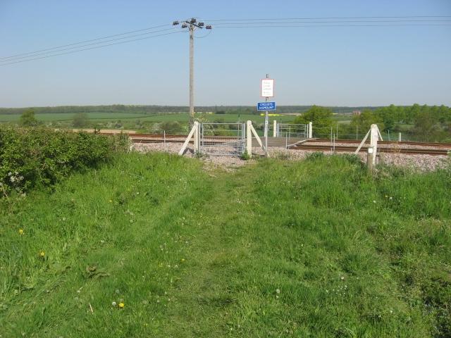
We don't yet have any user-contributed photos of Robin Hood Way Level Crossing.