Latitude: 53.9875 / 53°59'14"N
Longitude: -1.2338 / 1°14'1"W
OS Eastings: 450339
OS Northings: 454877
OS Grid: SE503548
Mapcode National: GBR MQTB.PB
Mapcode Global: WHD9X.01RF
Pluscode: 9C5WXQP8+XF
What3Words: scorecard.majority.pony
Is the location marker in the wrong place? You can help fix that!
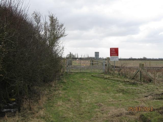
We don't yet have any user-contributed photos of Ross Level Crossing.