Latitude: 52.3751 / 52°22'30"N
Longitude: 0.2739 / 0°16'26"E
OS Eastings: 554886
OS Northings: 277666
OS Grid: TL548776
Mapcode National: GBR M6W.41H
Mapcode Global: VHHJD.PKNK
Pluscode: 9F4297GF+3H
What3Words: chat.puddings.specifies
Is the location marker in the wrong place? You can help fix that!
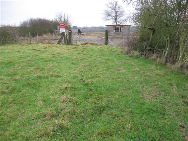
We don't yet have any user-contributed photos of Roundabout Drove Level Crossing.