Latitude: 54.4344 / 54°26'3"N
Longitude: -1.3684 / 1°22'6"W
OS Eastings: 441066
OS Northings: 504515
OS Grid: NZ410045
Mapcode National: GBR LKW5.J5
Mapcode Global: WHD7H.YSKW
Pluscode: 9C6WCJMJ+QJ
What3Words: wheat.options.crowbar
Is the location marker in the wrong place? You can help fix that!
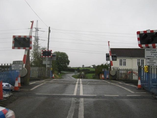
We don't yet have any user-contributed photos of Rounton Gates Level Crossing.