Latitude: 57.9927 / 57°59'33"N
Longitude: -4.1696 / 4°10'10"W
OS Eastings: 271837
OS Northings: 902446
OS Grid: NC718024
Mapcode National: GBR J72L.NRS
Mapcode Global: WH4CZ.XCMK
Pluscode: 9C9QXRVJ+34
What3Words: steers.cabbies.minority
Is the location marker in the wrong place? You can help fix that!
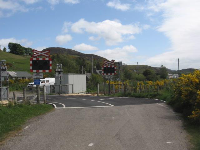
We don't yet have any user-contributed photos of Rovie Level Crossing.