Latitude: 51.7748 / 51°46'29"N
Longitude: 0.0424 / 0°2'32"E
OS Eastings: 541007
OS Northings: 210435
OS Grid: TL410104
Mapcode National: GBR LDD.RHX
Mapcode Global: VHHM5.PN88
Pluscode: 9F32Q2FR+WX
What3Words: sang.limbs.spice
Is the location marker in the wrong place? You can help fix that!
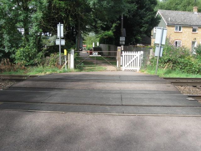
We don't yet have any user-contributed photos of Roydon Lock Level Crossing.