Latitude: 53.6057 / 53°36'20"N
Longitude: -1.1398 / 1°8'23"W
OS Eastings: 457018
OS Northings: 412470
OS Grid: SE570124
Mapcode National: GBR NVHR.15
Mapcode Global: WHDCP.GMHN
Pluscode: 9C5WJV46+73
What3Words: success.tonality.invite
Is the location marker in the wrong place? You can help fix that!
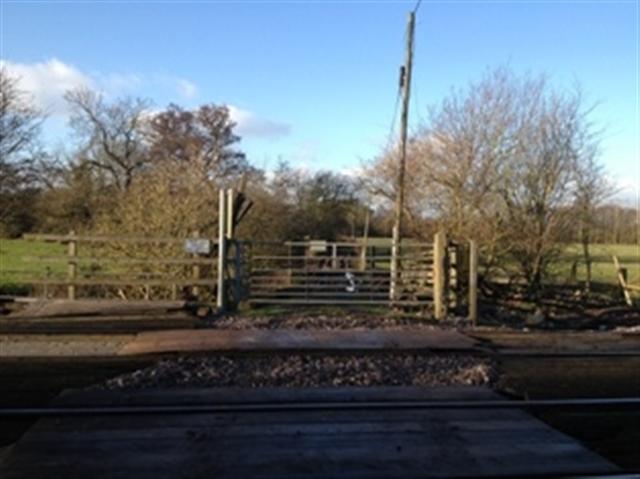
We don't yet have any user-contributed photos of Rushey Moor Level Crossing.