Latitude: 52.683 / 52°40'58"N
Longitude: 1.3954 / 1°23'43"E
OS Eastings: 629598
OS Northings: 314892
OS Grid: TG295148
Mapcode National: GBR WH3.ZHH
Mapcode Global: WHMT9.DTPH
Pluscode: 9F43M9MW+65
What3Words: rush.built.enclosing
Is the location marker in the wrong place? You can help fix that!
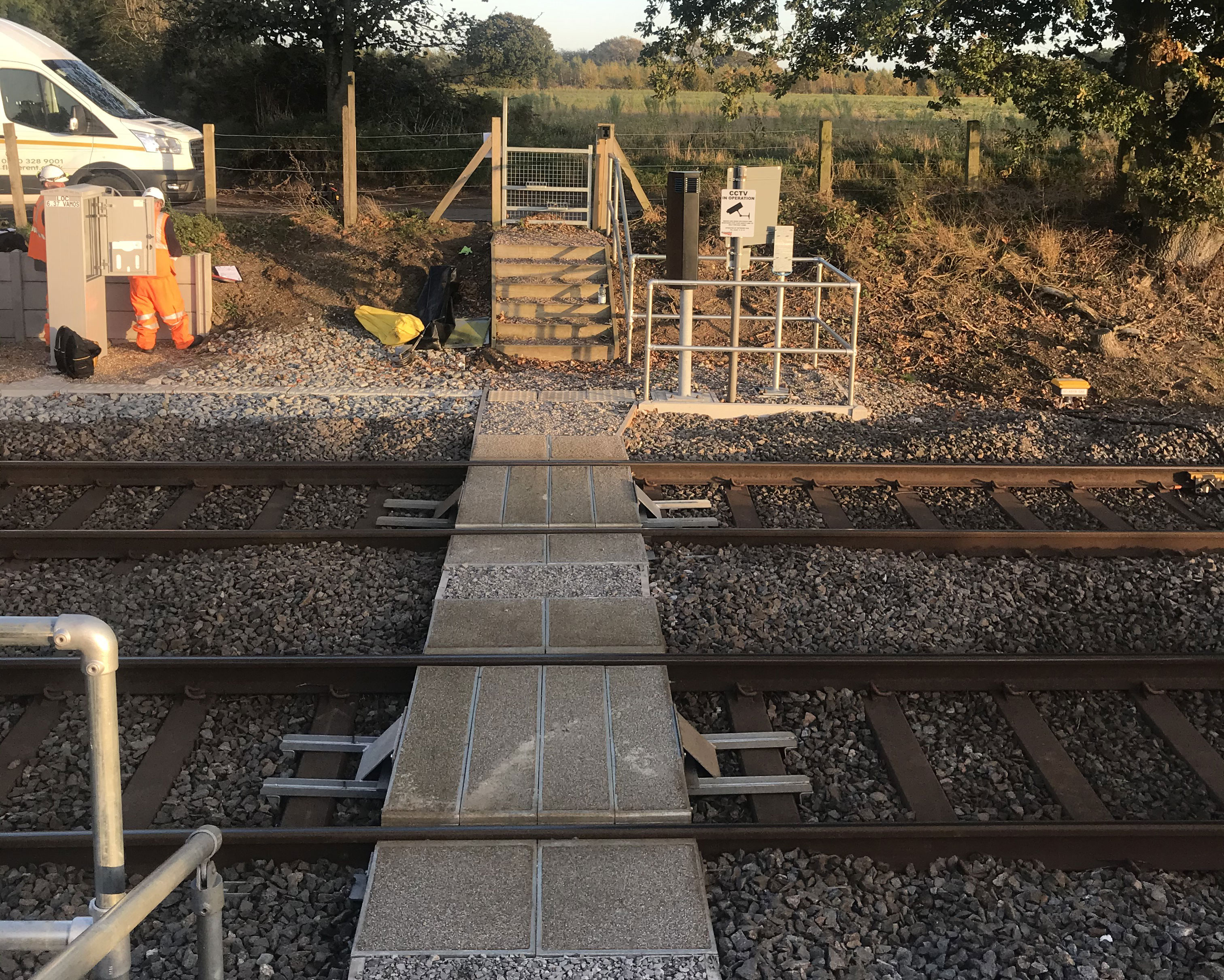
We don't yet have any user-contributed photos of Salhouse Church Level Crossing.