Latitude: 52.5186 / 52°31'6"N
Longitude: -1.7345 / 1°44'4"W
OS Eastings: 418115
OS Northings: 291218
OS Grid: SP181912
Mapcode National: GBR 4GX.0BB
Mapcode Global: VH9YS.WYFN
Pluscode: 9C4WG798+C6
What3Words: given.oasis.price
Is the location marker in the wrong place? You can help fix that!
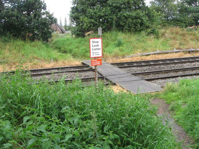
We don't yet have any user-contributed photos of Salisbury Drive Level Crossing.