Latitude: 56.8591 / 56°51'32"N
Longitude: -5.3184 / 5°19'6"W
OS Eastings: 197789
OS Northings: 779092
OS Grid: NM977790
Mapcode National: GBR FB7L.JMV
Mapcode Global: WH1FG.8VNM
Pluscode: 9C8PVM5J+JJ
What3Words: caused.pushy.irrigate
Is the location marker in the wrong place? You can help fix that!
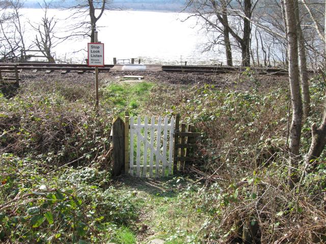
We don't yet have any user-contributed photos of Salmon Path Level Crossing.