Latitude: 52.3439 / 52°20'37"N
Longitude: -2.7101 / 2°42'36"W
OS Eastings: 351719
OS Northings: 271991
OS Grid: SO517719
Mapcode National: GBR BL.TFGN
Mapcode Global: VH849.ZC41
Pluscode: 9C4V87VQ+GX
What3Words: registers.listening.historic
Is the location marker in the wrong place? You can help fix that!
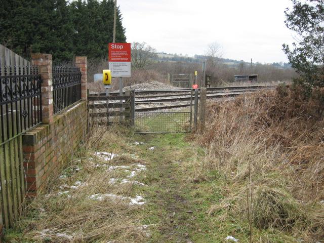
We don't yet have any user-contributed photos of Saltmoor Level Crossing.