Latitude: 54.2302 / 54°13'48"N
Longitude: -3.1903 / 3°11'24"W
OS Eastings: 322505
OS Northings: 482259
OS Grid: SD225822
Mapcode National: GBR 6M5J.3C
Mapcode Global: WH71X.YXZZ
Pluscode: 9C6R6RJ5+3V
What3Words: yachting.fake.plump
Is the location marker in the wrong place? You can help fix that!
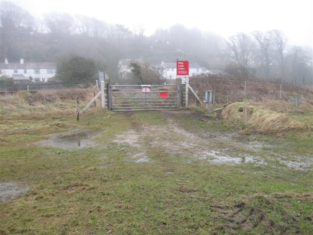
We don't yet have any user-contributed photos of Sandside Level Crossing.