Latitude: 51.8148 / 51°48'53"N
Longitude: -1.2975 / 1°17'51"W
OS Eastings: 448522
OS Northings: 213136
OS Grid: SP485131
Mapcode National: GBR 7WZ.2T4
Mapcode Global: VHCXF.GND5
Pluscode: 9C3WRP72+WX
What3Words: waged.shows.scam
Is the location marker in the wrong place? You can help fix that!
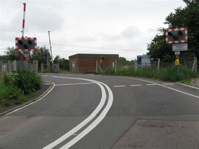
We don't yet have any user-contributed photos of Sandy Lane Level Crossing.