Latitude: 53.8996 / 53°53'58"N
Longitude: -0.4343 / 0°26'3"W
OS Eastings: 502976
OS Northings: 445957
OS Grid: TA029459
Mapcode National: GBR TRDB.SV
Mapcode Global: WHGDY.97GV
Pluscode: 9C5XVHX8+R7
What3Words: skirting.duties.broken
Is the location marker in the wrong place? You can help fix that!
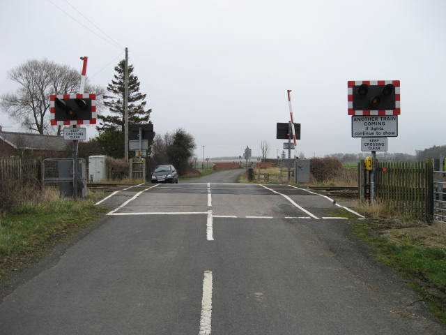
We don't yet have any user-contributed photos of Scorborough Level Crossing.