Latitude: 52.8677 / 52°52'3"N
Longitude: -1.7106 / 1°42'38"W
OS Eastings: 419577
OS Northings: 330065
OS Grid: SK195300
Mapcode National: GBR 4BP.6C1
Mapcode Global: WHCFY.P5MW
Pluscode: 9C4WV79Q+3Q
What3Words: divorcing.doll.news
Is the location marker in the wrong place? You can help fix that!
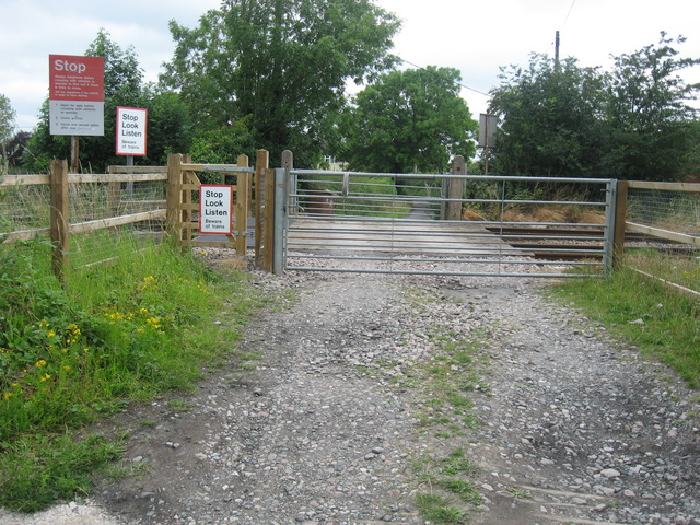
We don't yet have any user-contributed photos of Scropton Mill Lane Level Crossing.